Health & Fitness
Navy Receives Comments on Landfill / Wetlands Plans
Work plan for landfill and wetlands area of Alameda Point being discussed. Public access, wetlands, seismic issues get attention.


The Navy’s proposed work plan for the industrial landfill area called Site 2 on the wildlife refuge was issued in May for public comment. They received comments up to the July 9 deadline that covered recreational access when the job is finished, wetlands, gas vents and geological/seismic stability, among others.
Exclusionary fence
One feature of the plans came under heavy criticism: The exclusionary fence with barbed wire that the Navy proposes to erect when the job is completed. Golden University’s Center on Urban Environmental Law (CUEL) has been following open space plans at Alameda Point and even went to the trouble of preparing images of the area with and without the fence. CUEL received help from Pangea Environmental Services that interviewed oversight personnel for four closed landfills in the Bay Area converted to parks and recreational uses. They found that vandalism of monitoring equipment and soil covers — the ostensible purpose of the Navy’s fence — was non-existent.
Find out what's happening in Alamedawith free, real-time updates from Patch.
Pangea’s report says, “[T]he proposed post-construction installation of permanent exclusionary fencing surrounding Site 2 is considered to contradict the ‘open space and recreational use’ land use restriction proposed in the RAWP (Remedial Action Work Plan), since a closed fenced area cannot be considered open space or be used for recreation. [T]here appears to be no technical basis for installation of a permanent exclusionary fence restricting public access to Site 2.” The US Environmental Protection Agency (EPA) and the Regional Water Quality Control Board (Water Board) called on the Navy to look for alternatives.
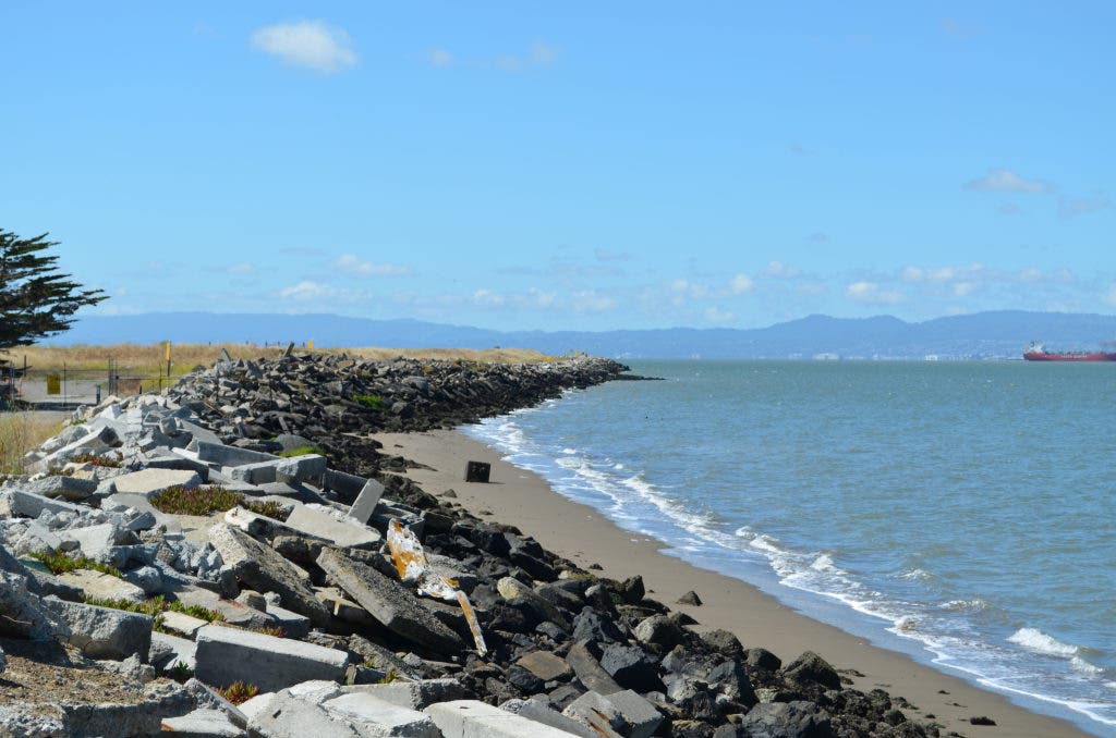
This scenic area with wetlands on the southwest corner of the wildlife refuge also came under review by the Bay Conservation and Development Commission (BCDC), which oversees implementation of state coastal policies around San Francisco Bay. BCDC expressed concern about shoreline access, since it is one of the cornerstones of its policy directives. They concluded their remarks, which covered their reviewing authority, tidal wetlands, aquatic resources, water quality, public access, and views, by saying, “We also look forward to the establishment of a future shoreline public trail at the site, which affords a unique access experience and unrivaled views of San Francisco Bay.”
Find out what's happening in Alamedawith free, real-time updates from Patch.
Gas vents
Methane gas vents got plenty of attention. The proposed 30 ten-foot-tall PVC gas vents received comments such as this one from the City of Alameda: “The tall vent pipes would be visually conspicuous and may detract from the aesthetic experience of future recreational users of the shoreline perimeter trail and other recreational users. Thus, alternatives to the tall vent pipes may be preferable. For example, the vent pipes could be shortened to a few feet above ground surface, where they would be concealed in vegetation and less conspicuous.” Not much methane is even produced after 30 or more years, especially since most of the waste is not organic.
Wetlands
The 36” steel culvert connecting the wetlands to San Francisco Bay received comments, even though it does not enter the landfill area of Site 2. Because the entire site includes wetlands, the EPA and the Water Board recommended addressing the aging culvert. The importance of the culvert became clear a year ago when driftwood clogged it and caused the North Pond to start drying up. If the culvert rusts out or fails in an earthquake, the wetlands ecosystem would face devastation.
Seismic stability
The EPA addressed seismic stability: “It should be noted that based on the presented analyses the seawall along the southern coastal margin which is founded on liquefiable hydraulic fill and coarse-grained Young Bay Mud is prone to edge failure and lateral spreading.” They called on the Navy to address the issue, and if they [do] not, then state for the record that edge failure is an acceptable long-term risk.
Toxics leaching into the Bay received less attention than in past years because water monitoring has shown that the chemicals are staying in place and not leaching. The Water Board was concerned about groundwater monitoring wells between the waste material and the wetlands and whether they would be adequate to protect the wetlands ecosystem.
The Navy has until August 24 to respond to comments and decide whether to modify its plans.
For a more in-depth report with interactive Google map and more images, go to Alameda Point Environmental Report.
Visit Facebook page and Twitter.
“The Navy provided a more current explanation of the future redevelopment of IR Site 2, indicating that even under Department of Veterans Affairs (VA) ownership that IR Site 2 would be a wildlife refuge.” From January 15, 2008 minutes of “Resolution Meeting” between Navy and regulatory agencies concerning the Feasibility Study for Site 2
“[T]his location is extremely unique and arguably offers one of the best Bay views in Alameda.” Water Board, June 13, 2012


